Sinkyone Wilderness to Big Bear
Sinkyone Wilderness to Big Bear
Last Monday folks started arriving @ the Sinkyone Wilderness Event. We are expecting 25 folks here to experience California's North Coast's primeval Redwood Forests and expansive views and rugged sea scapes. Many of the giant trees standing today were here when Christopher Columbus landed on North American shores. From here a contingent will travel to Big Bear for that MC event. Two weeks of buggie'n fun, Hmmmm. I will post pics as they materialize. Mark
-
tim morgan
- Posts: 182
- Joined: Mon Sep 01, 2008 12:50 am
Friday ...The first day out had the topical Weber adjustment periods ...  At the twenty-six mile point all came to a halt when one of the buggies discovered the Pan filling with gas form a 6" split in their alum. tank... It was a nice day to relax by the side of the rural country road hold'n a a fire extinguisher as 10 gallons of $3.19 / gal energy cascaded through the buggy on to the shoulder of the road, only to accumulate in a small volatile lake underneath the newly constructed Buggy. Finding a shady area we sat and pondered the worldly relevance to what ever came to mind as the rest of the buggies returned to camp and return for a truck and trailer . (Photos soon) Below are few pics from Friday's nights pot luck:
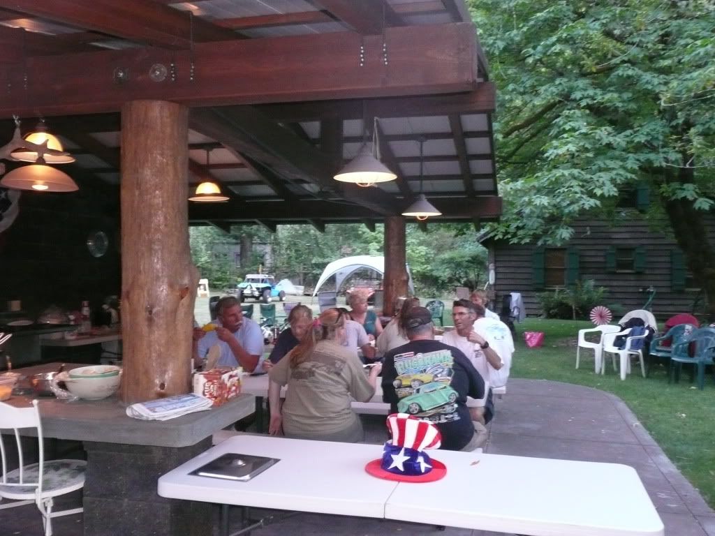 The next photo shows the reserved seating section for the Sierra Nevada Glass Buggies ....
 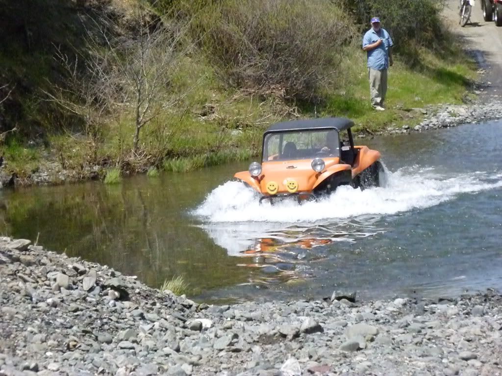 More Photos to follow ...
 At the twenty-six mile point all came to a halt when one of the buggies discovered the Pan filling with gas form a 6" split in their alum. tank... It was a nice day to relax by the side of the rural country road hold'n a a fire extinguisher as 10 gallons of $3.19 / gal energy cascaded through the buggy on to the shoulder of the road, only to accumulate in a small volatile lake underneath the newly constructed Buggy. Finding a shady area we sat and pondered the worldly relevance to what ever came to mind as the rest of the buggies returned to camp and return for a truck and trailer . (Photos soon) Below are few pics from Friday's nights pot luck:
 The next photo shows the reserved seating section for the Sierra Nevada Glass Buggies ....
  More Photos to follow ...
Saturday we awoke to clear skies and aspirations of an adventure south on Uasl Road through the Sinkyone Wilderness Area to California Hwy 1 where it turns inland to avoid the steep canyons and tedious cliffs to the north. The Usal is the only trail through the California’s Lost Coast / Sinkyone Wilderness Area The photo below shows the area looking south from the Bear Harbor access. The Usal Rd. traverses the ridges and distance peaks in the pic. 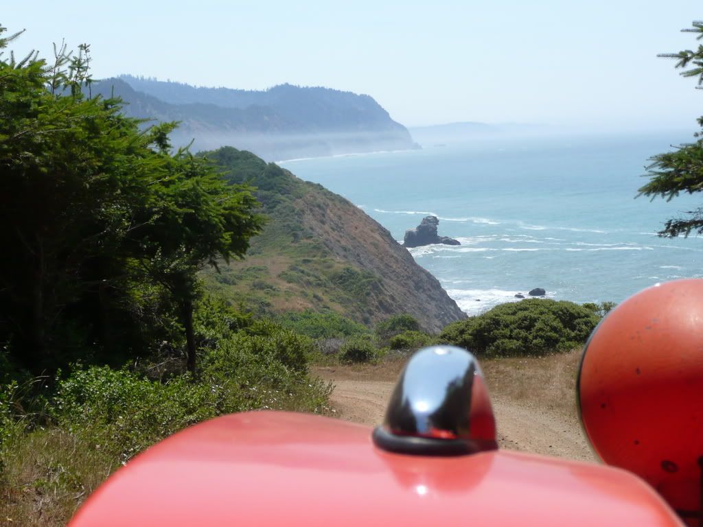 We had two Items to check to check before we headed out. The first was to check the gas tank repairs.
 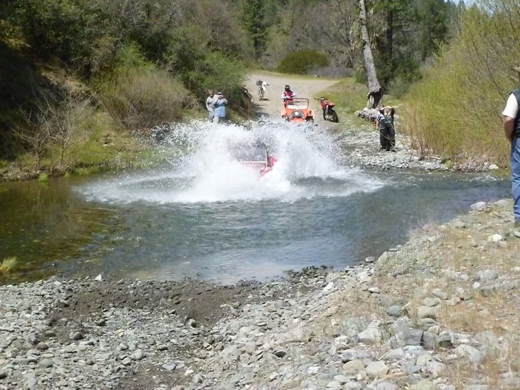 … The second was to check the Coastal weather. Well the tank repair looked a lot better than the weather. Inland temps were in the mid 90s and the coast was expected to be in the mid 50s with wet fog. The conscious of the group was to stay out of the fog as long as possible yet head south to Fort Brag for lunch. Heading south on 101 then turning west onto Hwy 1 kept us in the sun shine for a while. Below is a photo looking west along Hwy 1
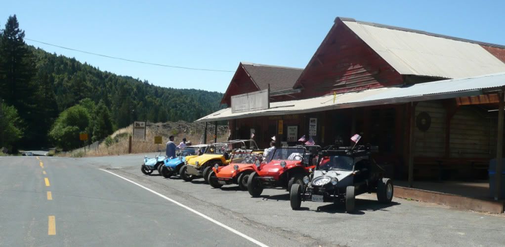
 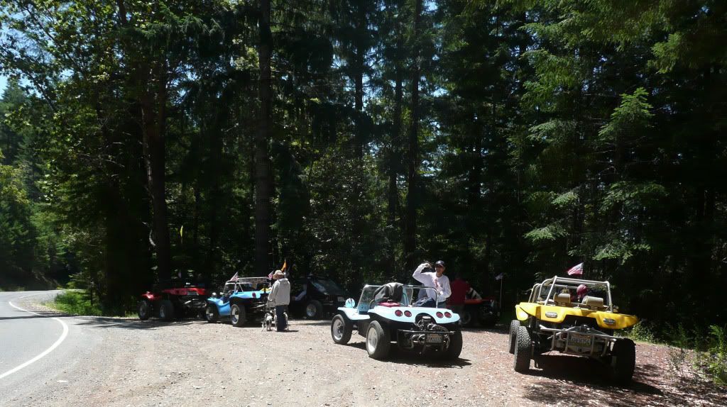 … It wasn’t long and we began feel the cooling coastal influences and see the looming fog bank ahead. Going from the morning sunshine into the fog shrouded coastal plains was like driving into a refrigerator. At first it felt refreshing but in time it was ez to see that we were ill prepared for this eco… Upon reaching the shore line a decision was quickly reached, we were going to head south through the mist to Westport for lunch, some 20 miles short of our original destination at Fort Brag. After lunch, bundled up with what ever we could find to protect us from the elements, we searched out the nearest route going west back into the sunshine. That ended up being a great course; The Branscomb Road has been used sense the early 1880s to move commerce from the interior to the coastal shipping ports of Westport, Rockport and Fort Brag, long before Hwy 101 and the railroad opened up the area to development. The community of Branscomb a hamlet in the vast expanses’ of timber resource lands was once a busy timber-town. Below is a photo of the Branscomb’s General Mercantile :
  Saturdays’ outing wondered 135 miles around the forested hills and valleys and across meadows of the Humboldt and Mendocino Counties … Sundays’ outing was another attempt to cross the Usal Road . That account will happen in another post …
 We had two Items to check to check before we headed out. The first was to check the gas tank repairs.
  … The second was to check the Coastal weather. Well the tank repair looked a lot better than the weather. Inland temps were in the mid 90s and the coast was expected to be in the mid 50s with wet fog. The conscious of the group was to stay out of the fog as long as possible yet head south to Fort Brag for lunch. Heading south on 101 then turning west onto Hwy 1 kept us in the sun shine for a while. Below is a photo looking west along Hwy 1
  … It wasn’t long and we began feel the cooling coastal influences and see the looming fog bank ahead. Going from the morning sunshine into the fog shrouded coastal plains was like driving into a refrigerator. At first it felt refreshing but in time it was ez to see that we were ill prepared for this eco… Upon reaching the shore line a decision was quickly reached, we were going to head south through the mist to Westport for lunch, some 20 miles short of our original destination at Fort Brag. After lunch, bundled up with what ever we could find to protect us from the elements, we searched out the nearest route going west back into the sunshine. That ended up being a great course; The Branscomb Road has been used sense the early 1880s to move commerce from the interior to the coastal shipping ports of Westport, Rockport and Fort Brag, long before Hwy 101 and the railroad opened up the area to development. The community of Branscomb a hamlet in the vast expanses’ of timber resource lands was once a busy timber-town. Below is a photo of the Branscomb’s General Mercantile :
  Saturdays’ outing wondered 135 miles around the forested hills and valleys and across meadows of the Humboldt and Mendocino Counties … Sundays’ outing was another attempt to cross the Usal Road . That account will happen in another post …